GLOSS Station Handbook – Broome
The GLOSS Station Handbook is currently being re-designed and upgraded.
Until a new version is available, the tide gauge station list below from the last version of the Handbook provides links to further details about each tide gauge in the GLOSS Core Network. Click column headings to sort the station list table. Click the GLOSS number buttons to view the station information.
Station information
| General | |
|---|---|
| Gloss number | 40 |
| Station name | Broome |
| Country | Australia |
| Time zone | 120E, GMT + 8hrs |
| Latitude (+ve N) | -18.0 |
| Longitude (+ve E) | 122.21666 |
| Ocean | Indian |
| Observation periods | Float gauge 1966-; Acoustic gauge 1991- |
| Responsible country | Australia |
| Authority responsible for tide gauge | National Tidal Centre, Australia (see GLOSS Contact Points). Department of Transport, Marine Division, PO Box 402, Fremantle, WA 6160, Australia |
| GLOSS contact | Australia |
| Committed to GLOSS | Yes |
| Operational | Yes |
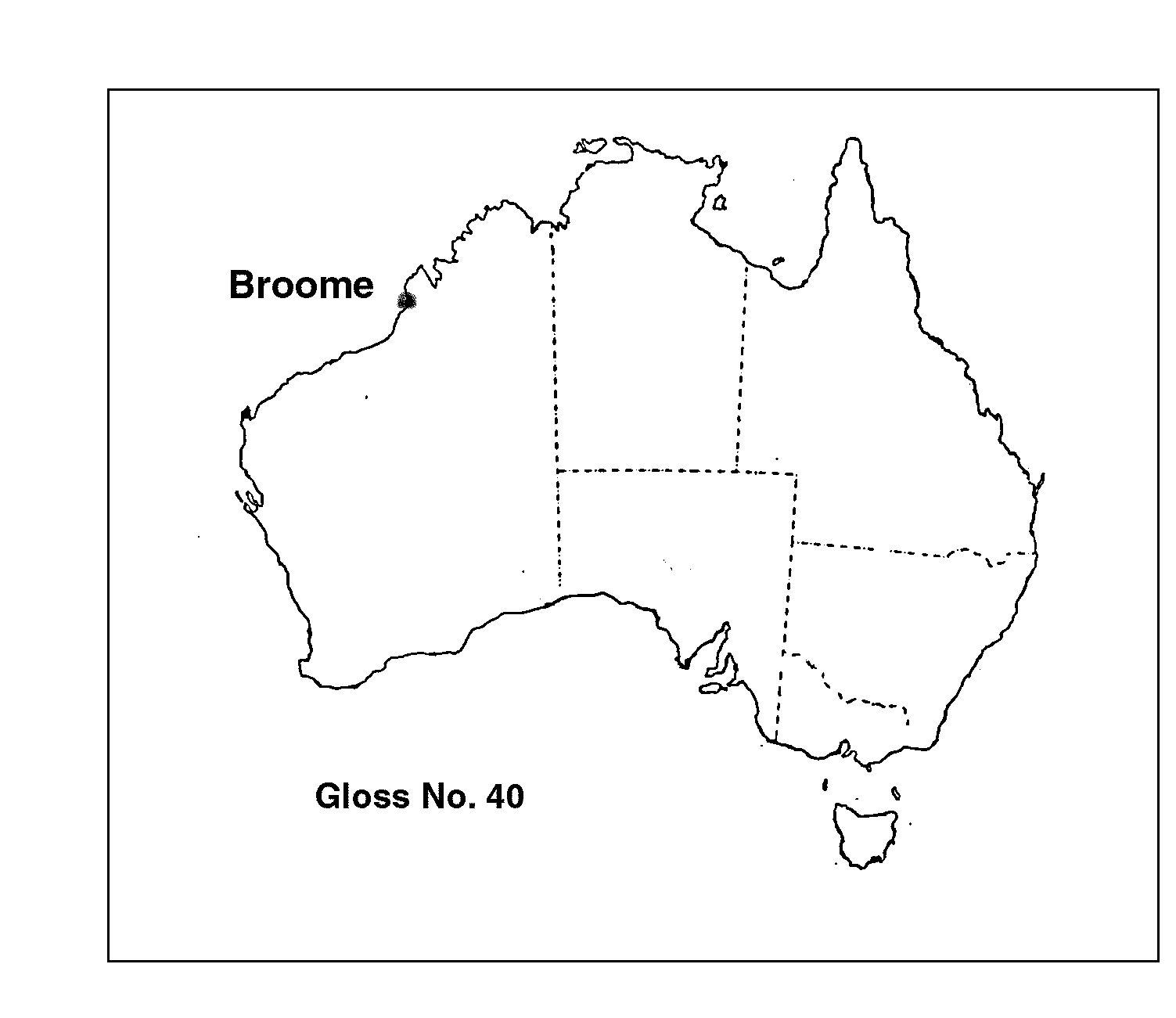
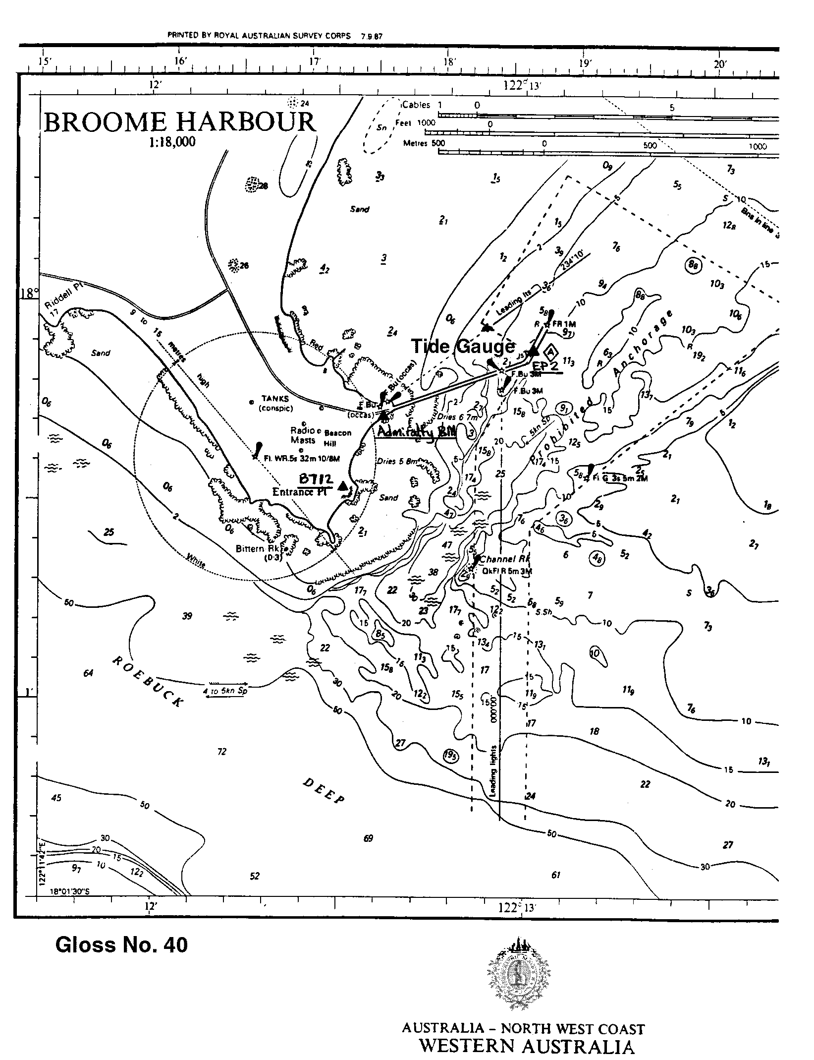
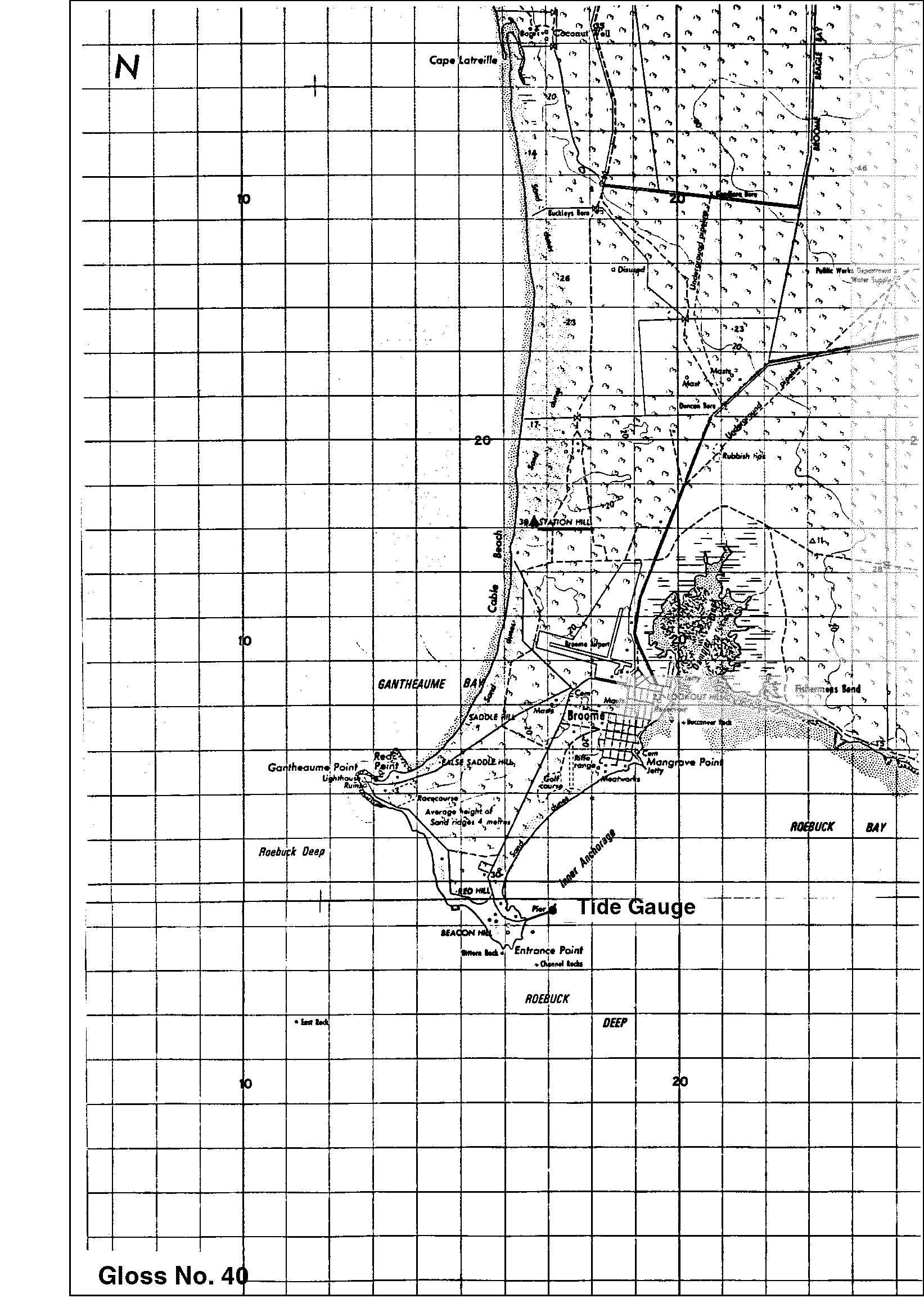
| Location map | |
| Instrumentation | |
| Float | Yes |
| Pressure | No |
| Bubbler | No |
| Acoustic | Yes |
| Radar | No |
| Data | |
| Digital data | Yes |
| Additional parameters | barometric pressure, water/air temperature, wind speed & direction |
| Data acquisition rate | 6 minute interval |
| High frequency data at UHSLC | Data 166a Document 166a File format |
| Real-time data available | Yes |
| Additional parameters (real-time) | None |
| Benchmarks | |
| Tide gauge benchmark | A P.W.D. bronze plaque stamped 'TIDAL BM' set in concrete deck of jetty above the northern end of the boat landing. |
| Benchmark relationships | Tide Gauge Zero (TGZ) = 12.537m below TGBM. TGZ = 4.462m below Australian Height Datum (AHD). |
| Auxiliary benchmarks | Admiralty BM cut in face of large rock on south side of root of jetty. EP 2 - A bolt set in concrete deck beside the telephone box on the southern end of the Transit Shed, Broome jetty. B712 - A standard brass plaque set in concrete approx. 250m south of the root of the jetty. Station Hill - a brass plaque trig. Station located 9km north of TGBM. Broome 184 - Coastal Array Primary benchmark = 12.794m AHD Tide Broome - SEAFRAME Sensor BM = 8.296m AHD C/84 - Datum for AHD heights = 8.565m AHD Broome 183 = 14.140m AHD Broome 185 = 14.093m AHD |
| Data at PSMSL | |
| Annual MSL (RLR) data | RLR 1159 |
| Annual MSL (RLR) plot | |
| MSL method | Hourly means |
| PSMSL code | 1159 |
| Other relevant codes | NTF port no. 62650, UHSLC 166 |
| Additional information | |
| Other relevant information | Float/stilling well analogue gauge operated at this location 1965-1982. Geocentric measurements: Precise ephemeris, single point doppler fix 1985: multistation GPS 1986, (Station Hill). PSMSL also hold data from another gauge at Broome (PSMSL Code 680/498, 1966-1983). |
| Nearest Met. station | Broome Airport |
| Last updated | 16 October 2002 |
Location map
Broome, Australia
Location map
Broome, Australia
Location map
Broome, Australia
Real time data plot
Broome, Australia
