GLOSS Station Handbook – Walvis Bay
The GLOSS Station Handbook is currently being re-designed and upgraded.
Until a new version is available, the tide gauge station list below from the last version of the Handbook provides links to further details about each tide gauge in the GLOSS Core Network. Click column headings to sort the station list table. Click the GLOSS number buttons to view the station information.
Station information
| General | |
|---|---|
| Gloss number | 314 |
| Station name | Walvis Bay |
| Country | Namibia |
| Time zone | 030E, GMT+2hrs |
| Latitude (+ve N) | -22.9493 |
| Longitude (+ve E) | 14.49856 |
| Ocean | Atlantic |
| Observation periods | 1958-1974: Kent 1976-1993: Float (Ott) 1994-1998: Acoustic 2008-ongoing: Radar and DCP |
| Responsible country | Namibia |
| Authority responsible for tide gauge | Hydrographer, SA Navy, Private Bag X1, Tokai 7966, South Africa |
| GLOSS contact | Namibia |
| Committed to GLOSS | No |
| Operational | Yes |
| Instrumentation | |
| Float | Yes |
| Pressure | No |
| Bubbler | No |
| Acoustic | Yes |
| Radar | No |
| Data | |
| Digital data | Yes |
| Additional parameters | Sea temperature (from 1990), Air pressure (from 1990) |
| Data acquisition rate | Float/stilling well - digitised hourly. Acoustic - meaned values recorded at minute intervals, filtered |
| High frequency data at BODC | Data 314 Document 76883 |
| High frequency data at UHSLC | Data 220a Document 220a File format |
| Real-time data available | No |
| Additional parameters (real-time) | None |
| Benchmarks | |
| Tide gauge benchmark | Trig survey BM 1A1 adjacent Railway Headquarters - UTM grid reference 33 KVE 492622 2008 - BM 1A1 renamed BM 1011 |
| Benchmark relationships | Tide Gauge Zero (TGZ) = 0.913m below LLD (MSL) until 31 December 1978 TGZ = 0.900m below LLD (MSL) from 1 January 1979 TGZ = 2.291m below BM 1A1 From 2008: BM 1011 = LLD + 3.770m Chart Datum = LLD - 0.966m |
| Data at PSMSL | |
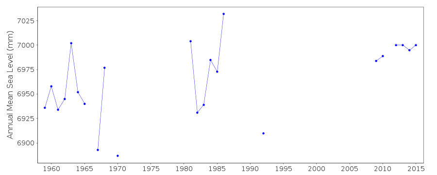
| Annual MSL (RLR) data | RLR 914 |
| Annual MSL (RLR) plot | |
| MSL method | Doodson X0 filter |
| PSMSL code | 914 |
| Other relevant codes | UHSLC 220 |
| Additional information | |
| Last updated | 11 December 2002 |
Real time data plot
Walvis Bay, Namibia